My car has a spot in the central console area thingy that looks like it has been designed to store your mobile phone so you can kind of see the screen while driving, for navigational purposes. At least, the manual doesn’t seem to document its purpose, and I can’t figure out what else it could be for.
A few months ago I had to drive to Balwyn to pick up a batch of stuff to bring home. My navigational skills for this part of the world are a bit hazy. Anywhere north-east of Kew, and I’m a bit lost.
So I tried out the Google Maps navigation in my phone. I’ve used it plenty of times for planning trips on public transport or on foot. And occasionally when driving I’d use it to check road conditions, but I hadn’t used it in fully-blown GPS mode before.
I have to say, I’m impressed. Pump up the volume and it reads you all the directions as you travel along, including details like pointing out when you might have to be in the left lane to turn right.
(Supposedly, dedicated GPS units are better than using phones, but given how little I drive, I’d struggle to justify it.)

It would be interesting to understand the algorithm, but from my observations:
- Time appears to trump any other consideration. Save one minute by using a toll road? It’ll suggest it, unless you set the options to exclude toll roads. But there’s no option to be selective about it – maybe I’m willing to pay $3.18 for the Bolte Bridge, but not $8.27 for the Burnley Tunnel and M1.
- It seems pretty good at avoiding big traffic snarls.
- In the case of the trip from Bentleigh to Balwyn, it took me on a route which I totally wouldn’t have chosen myself, along numerous minor roads and side streets.
I find this last point interesting. If I’d planned it, I’d have taken a longer route along main roads – because they’re easier to navigate if you’re unfamiliar with an area and aren’t being given directions.
If the algorithm prioritises time over everything else, presumably it’s sending a lot of motorists down streets that previously didn’t get much traffic.
Other GPS systems are probably doing much the same thing – this article goes into some of the technical detail.
Some communities are fighting back, particularly in the USA where perhaps more people are using them. Apparently the town of Leonia, New Jersey has closed numerous streets to all vehicles except local traffic. And there other strategies some are employing:
Since Waze uses crowd sourcing to update its information, some people – frustrated at the influx of outside traffic – have taken to fabricating reports of traffic accidents in their communities to try to deter the app from sending motorists their way.
Oddly, the article doesn’t mention the measure that I would consider the most obvious: traffic calming to reduce overall driving speeds. Off the top of my head these might include:
- Reduce speed limits
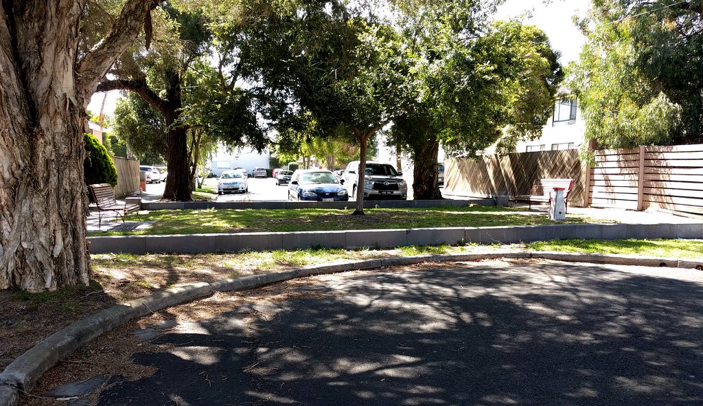
- Closing off through-streets to create cul de sacs for traffic (see above; preferably still allowing pedestrians and cyclists through)
- Speedhumps and chicanes (see below) to slow down cars
- Turn or through-traffic restrictions at intersections (a recent high-profile example is Toronto’s King Street)
And I’m sure there are other measures that can be used. In my own local area, Glen Eira has implemented a number of these measures on side streets – great to see.

After all, if the algorithms are giving people the fastest route no matter what, then making residential side streets slower and less convenient might be the only way to ensure that quiet streets stay quiet.
And even better, it also makes life better for cyclists and pedestrians using those streets.